UN
31 Bunker Square
£ 279,000
Description
We don't have a Description for this property.
- Bedrooms
- 3
- Bathrooms
- 0
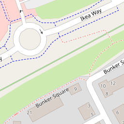
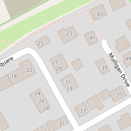
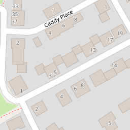
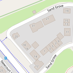

Leaflet © OpenStreetMap contributors
The heatmap indicates the level of crime in the area. The color of the heatmap indicates the crime severity and recency.
Metrics Year-on-Year
- Average area value
- 512,958.00 £Increased by 3.97 %
- Average area rental value
- 1,409.00 £/moIncreased by 0.57 %
- Est rental Yield
- 3.30 %Decreased by 3.23 %
- Crime Rate
- 16.00 %Unchanged by 0.00 %
from 493,386.00 £
from 1,401.00 £/mo
from 3.41 %
from 16.00 %
Nearby Schools
| Name | Type | Ofsted | Distance |
|---|---|---|---|
| Trinity Church Of England Voluntary Aided Primary And Nursery School | Voluntary Aided School | 0.60 KM | |
| Clyst Heath Nursery And Community Primary School | Community School | Good | 0.84 KM |
| Stansfield Academy | Academy Alternative Provision Sponsor Led | 1.22 KM | |
| St Peter'S Church Of England Aided School | Voluntary Aided School | Good | 1.59 KM |
| Woodwater Academy | Academy Sponsor Led | Good | 1.80 KM |
Images
Nearby Streets
| Name | Average Price | Average Sqft | Distance |
|---|---|---|---|
| Carrick Mill | £ 875,000 | 0 | 0.00 KM |
| Hardy Road | £ 500,000 | 0 | 0.00 KM |
| Artillery Avenue | £ 750,000 | 0 | 0.00 KM |
| Central Avenue | £ 260,000 | 0 | 0.00 KM |
| Sleepy Hollow | £ 200,000 | 0 | 0.00 KM |
Nearby Transport
| Name | NLC | TLC | Distance |
|---|---|---|---|
| Newcourt | 9589 | NCO | 0.39 KM |
| Digby And Sowton | 5753 | DIG | 0.90 KM |
| Topsham | 5758 | TOP | 2.58 KM |
| Pinhoe | 5757 | PIN | 3.58 KM |
| Polsloe Bridge | 3422 | POL | 3.99 KM |
Nearby Listings
| Address | Price | Type | Score | Distance |
|---|---|---|---|---|
| Exeter, Devon | £ 350,000 | BUY | 6 / 10 | 0.10 KM |
| Mulligan Drive, Exeter | £ 550,000 | BUY | Unknown | 0.12 KM |
| Mulligan Drive, Newcourt, Exeter, EX2 | £ 525,000 | BUY | 6 / 10 | 0.13 KM |
| Mulligan Drive, Newcourt, Exeter, EX2 | £ 675,000 | BUY | 7 / 10 | 0.13 KM |
| Sand Grove, Exeter, EX2 7SF | £ 375,000 | BUY | 7 / 10 | 0.14 KM |
Nearby Properties
| Address | Price | Distance |
|---|---|---|
| 31 Bunker Square | £ 279,000 | 0.00 KM |
| 25 Bunker Square | £ 319,995 | 0.00 KM |
| 5 Bunker Square | £ 220,000 | 0.01 KM |
| 20 Mulligan Drive | £ 288,000 | 0.09 KM |
| 18 Mulligan Drive | £ 285,000 | 0.10 KM |